Entity City.
- unity
- ar
- vuforia
- arcore
- lidar
- data-viz
- r3f
TLDR
Deliverables
- A Unity AR app for Android (Vuforia tracking on ARCore)
- A LiDAR-to-image tracking system
- A checkout system for printing a visualization
Summary
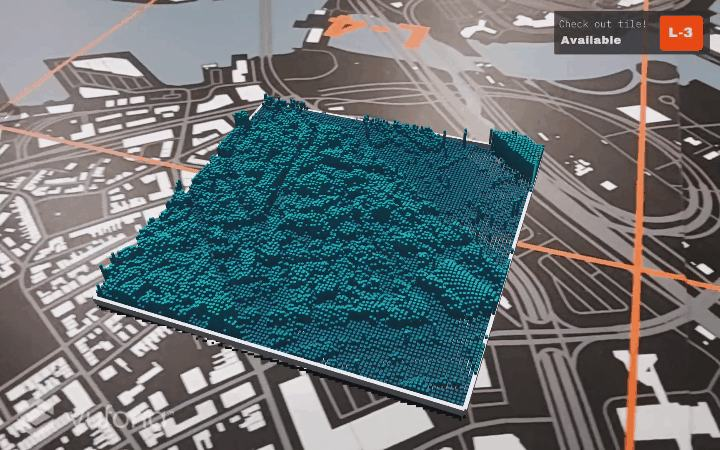
A Unity AR app that voxelizes Boston's LiDAR elevation into a tabletop city — Vuforia image tracking, targeting ARCore on Android.
Role
Developer, Designer · Oct 2020 — Jan 2021
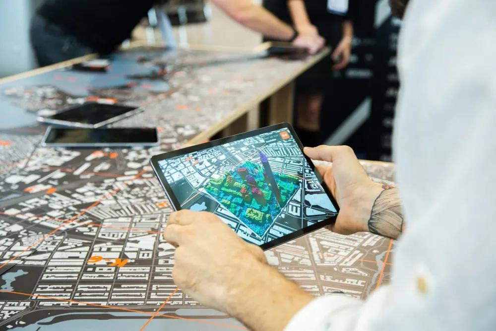
Entity City combined two of my personal passions — digital fabrication and programming — into a tool for reading spatial data with your hands. It augmented heightmap data onto printed city maps so you could see the relationship between geographic elevation and urban form. Simple shapes and textures stood in for the general massing of the city, turning otherwise dense visual data into something you could walk around a table and understand.
How it worked
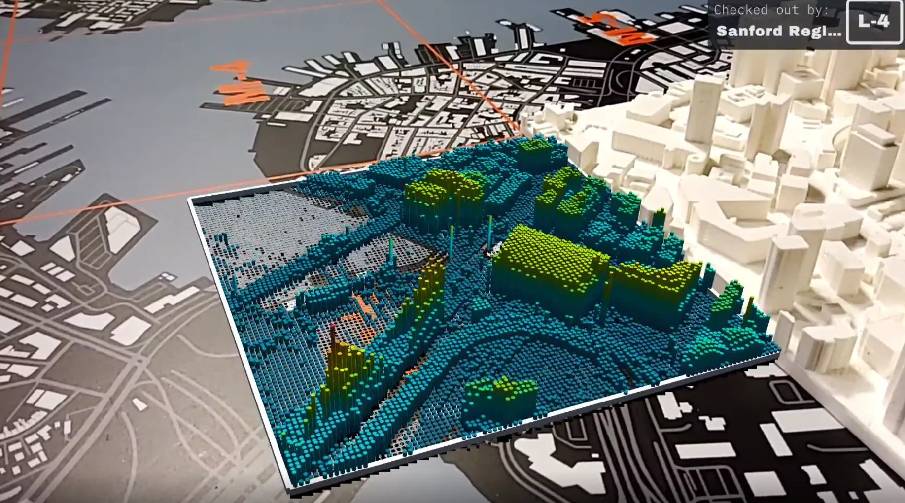
LiDAR tiles were paired with matching custom Mapbox tiles, then rendered as a voxelized terrain — each cell's elevation pushed up as a column. The look came from pin-art toys: the kind you press your hand or face into and the pins hold the impression.
The demo below rebuilds that idea in the browser. A baked grayscale heightmap of downtown Boston is sampled into a field of voxels that rise pin-art style, colored by elevation. Drag to orbit; hit replay to press the pins again.
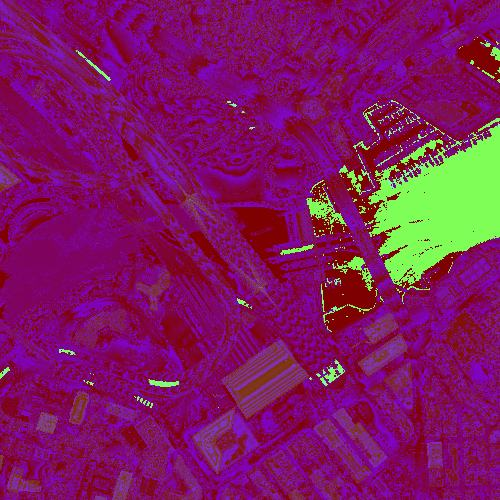
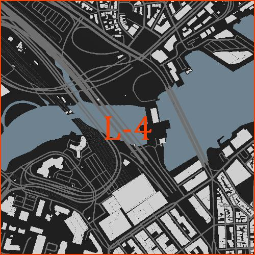
The source inputs were a raw LiDAR tile and a hand-styled Mapbox tile for the same footprint, registered to each other:
The AR layer
The printed map doubled as a tracking target. Vuforia handled image-target recognition — when the camera locked onto a tile, the voxel terrain rendered in place on top of it. The app was built in Unity targeting ARCore, since it shipped on Android, so Vuforia's tracking ran on top of ARCore's camera and session.
A custom LiDAR-to-image tracking system tied each printed tile back to its own elevation data, so the right terrain appeared over the right part of the city.
Color & install
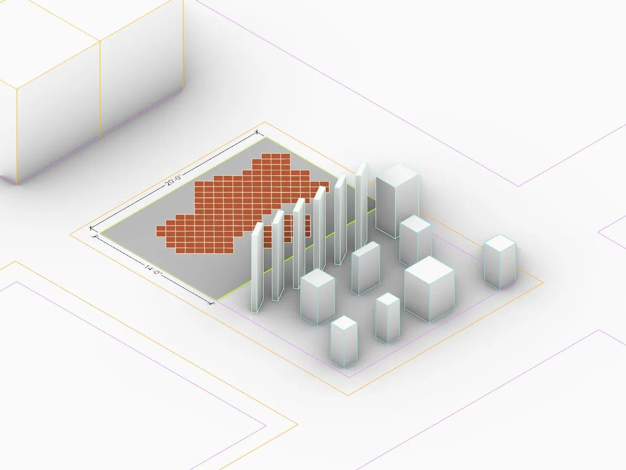
The elevation ramp was a design problem of its own — it had to read as terrain, not noise. Gradient tests set the palette; an installation mock-up set the table-top scale.

Exhibition